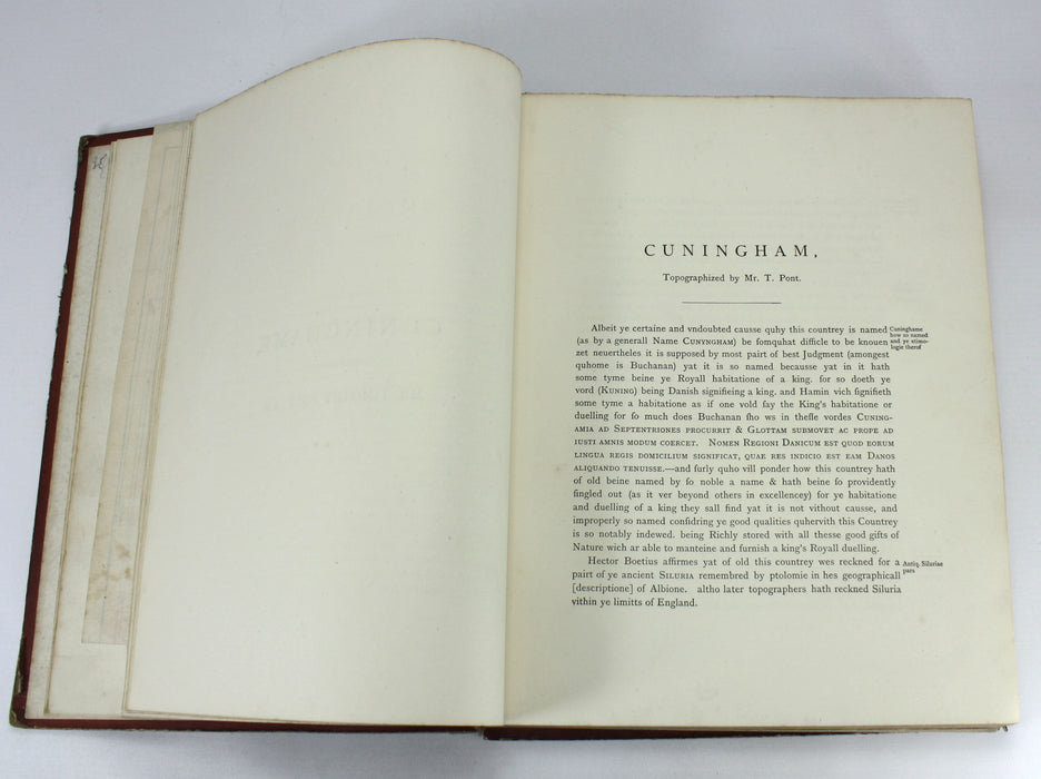
Cunninghame, Topographized by Timothy Pont, 1604-1608, James Dobie of Crummock, 1876
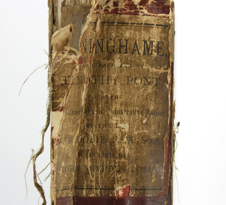
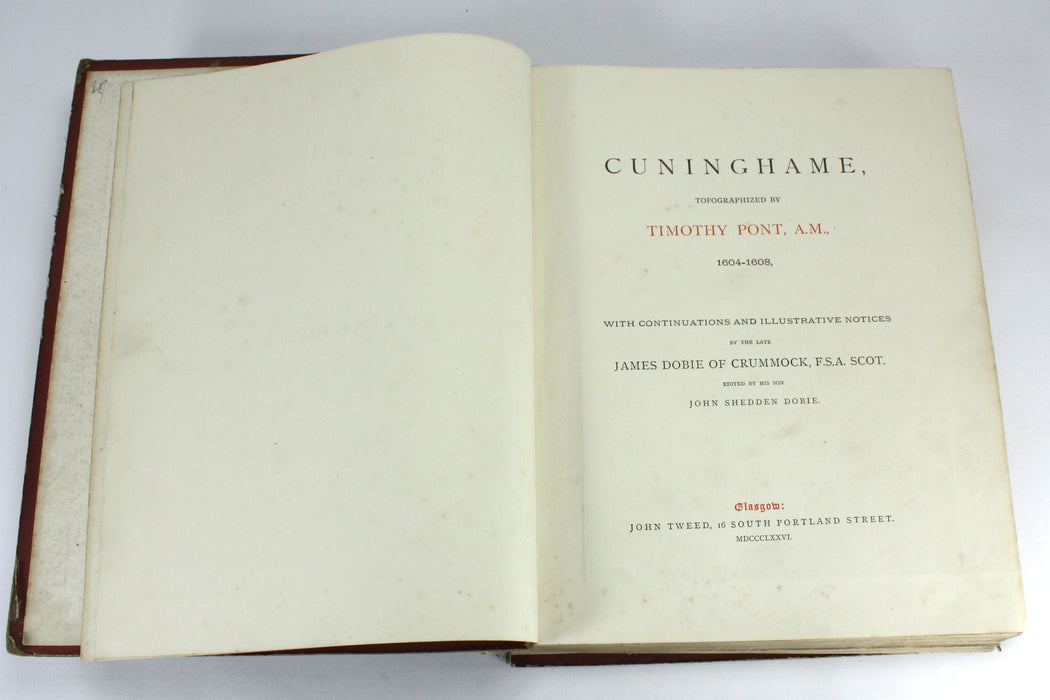
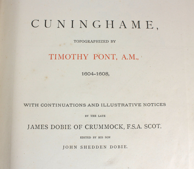
Cunninghame, Topographized by Timothy Pont, A.M., 1604-1608, with Continuous and Illustrative Notices by the Late James Dobie of Crummock, F.S.A. Scot. Edited by His Son, John Shedden Dobie.
SOLD
Published by John Tweed, Glasgow, 1876. First edition. A scarce historical document, in need of repair to its binding. Copies of this book are only listed in 14 libraries worldwide on Worldcat.
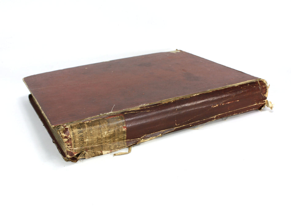
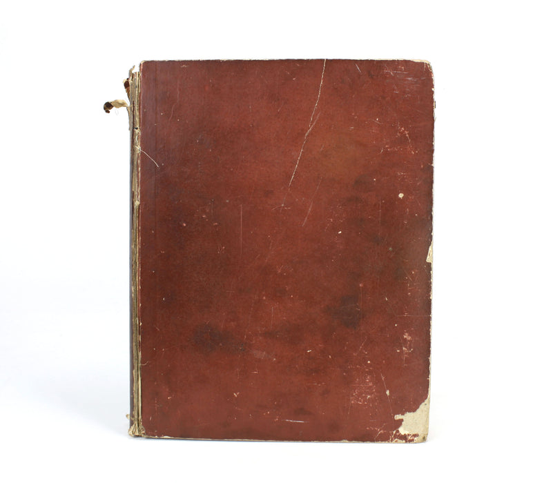
A fair copy in the original paper covered boards. Joints are split and front cover is held only by the webbing and the rear cover is detached. Boards are worn and frayed. Original paper label to spine.
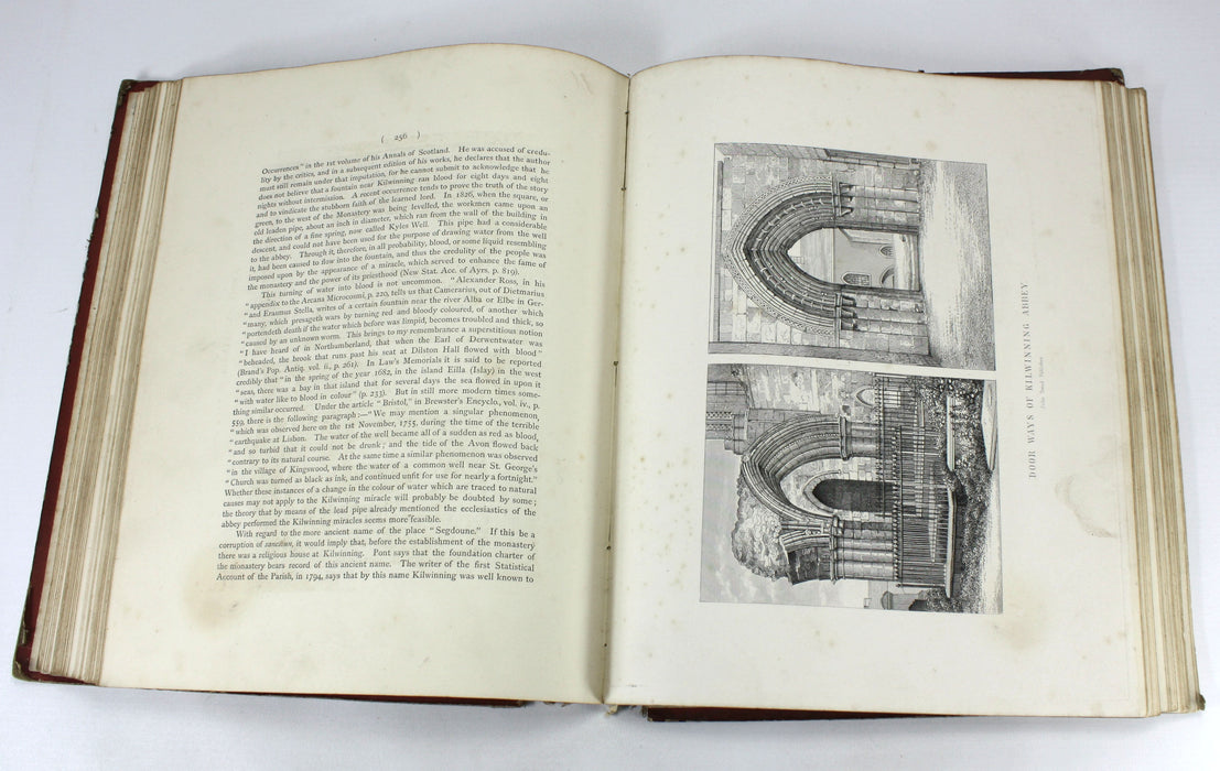
The text on the whole is very good - largely clean and bright with occasional thumb marks, and some foxing and offsetting at Plate areas. All text is present as called for.
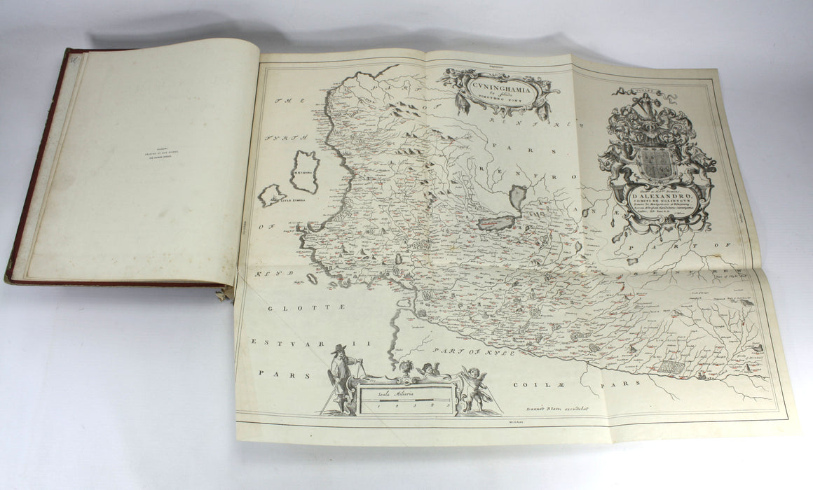
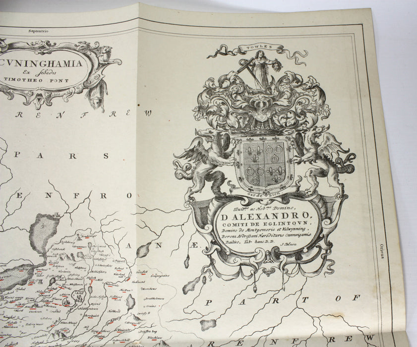
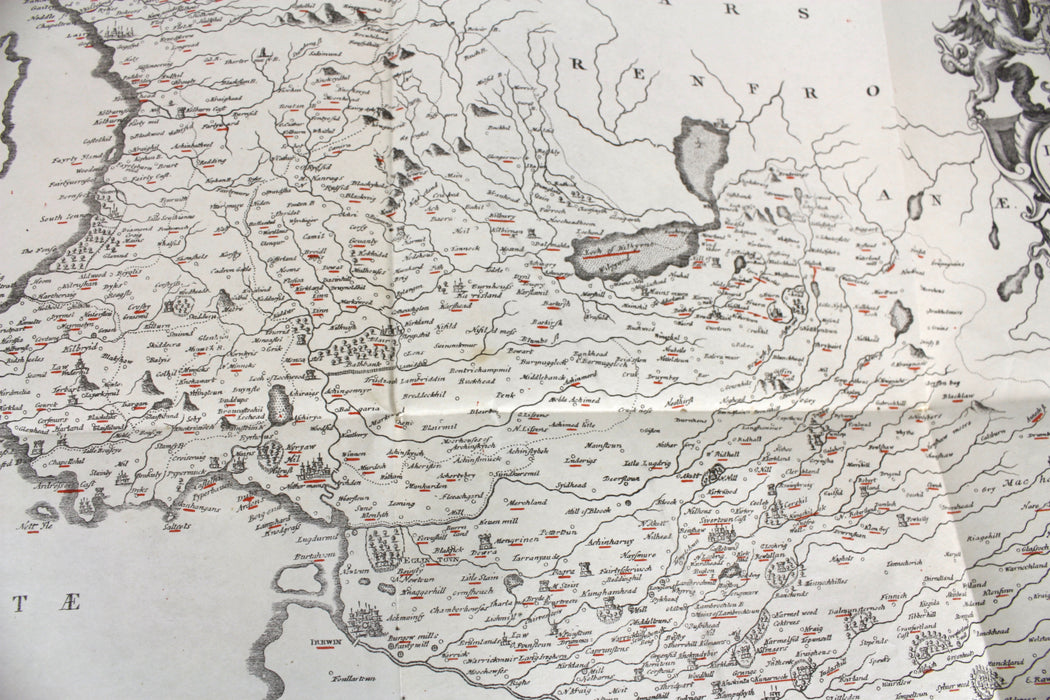
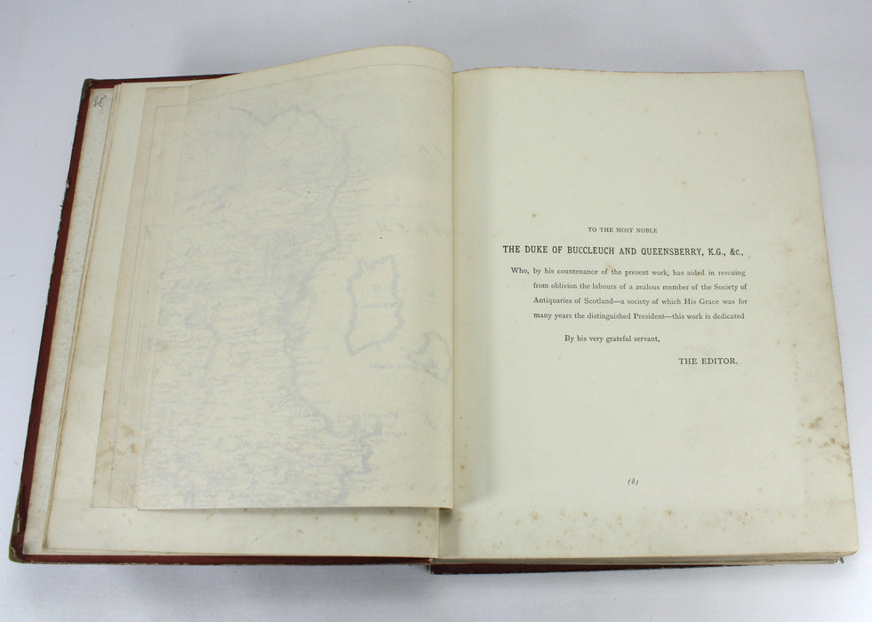
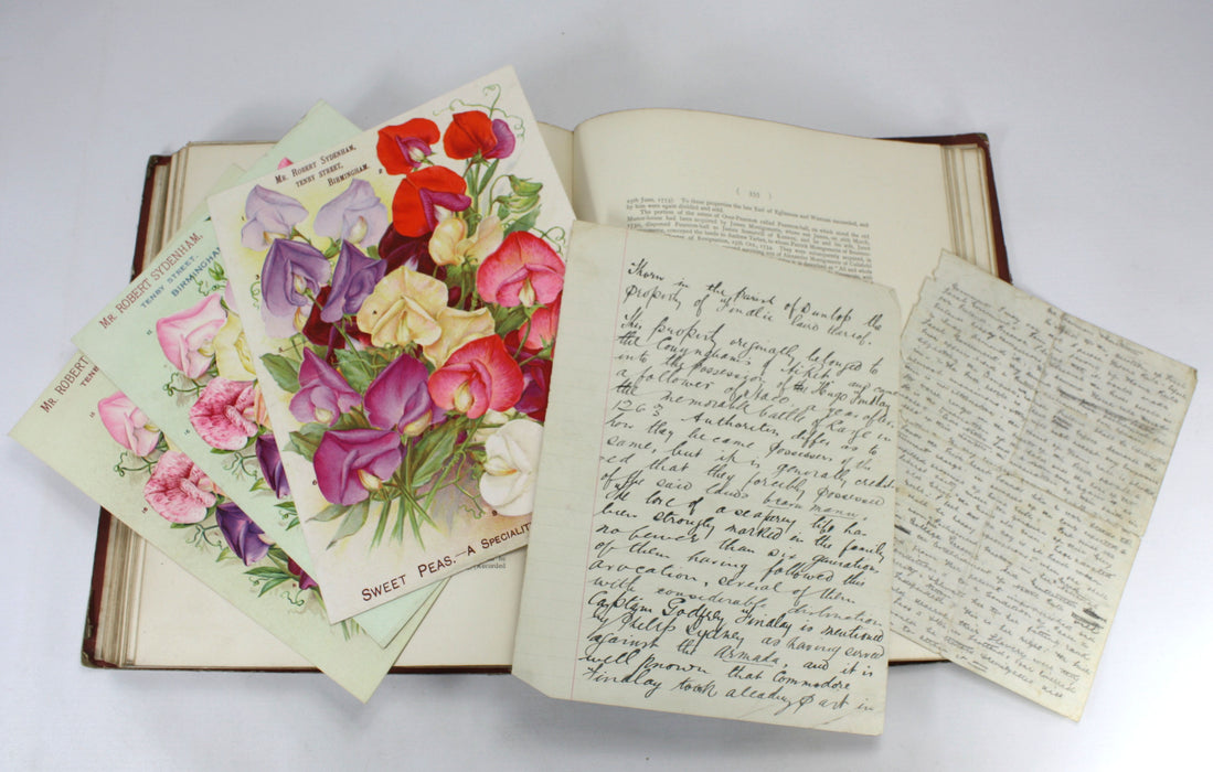
The fold-out map is in very good condition and is a representation of Joan Blaue's map, based on the survey by Timothy Pont. With some additional 19th century ephemera.
Text in English.
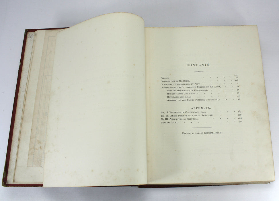
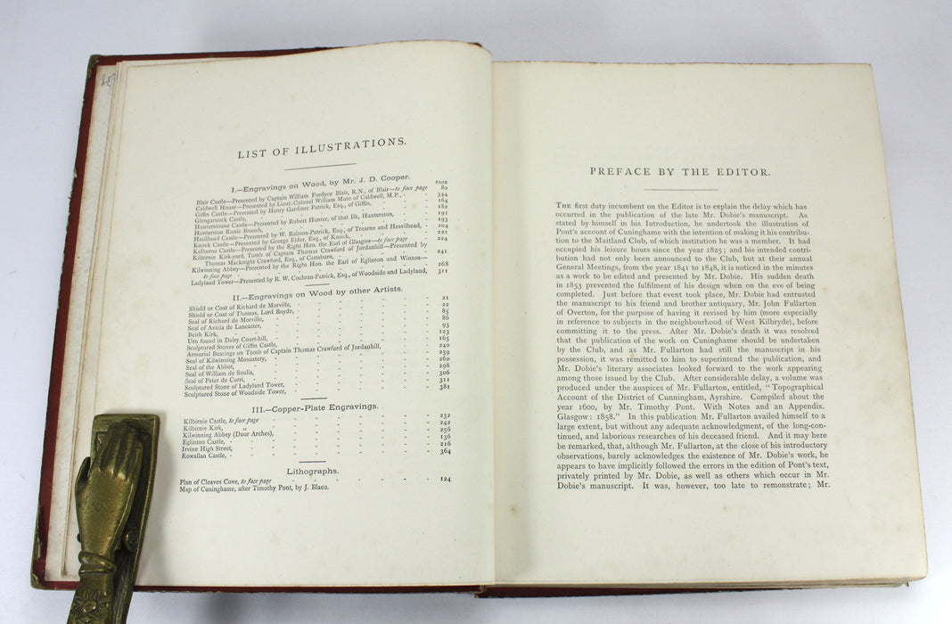
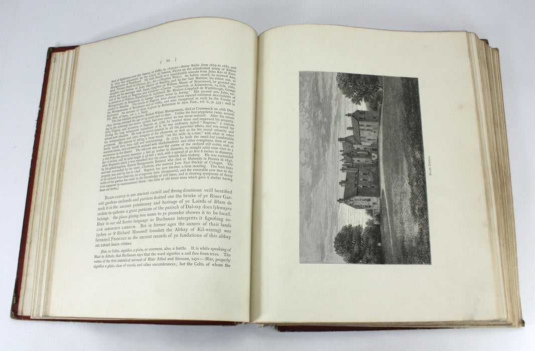
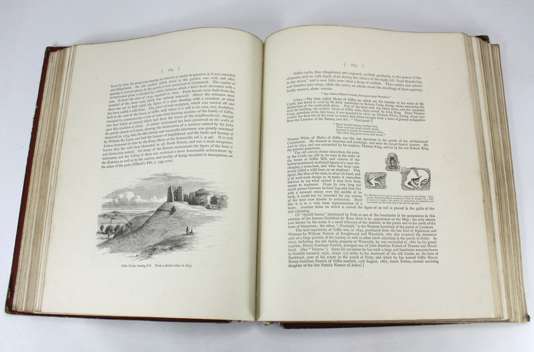
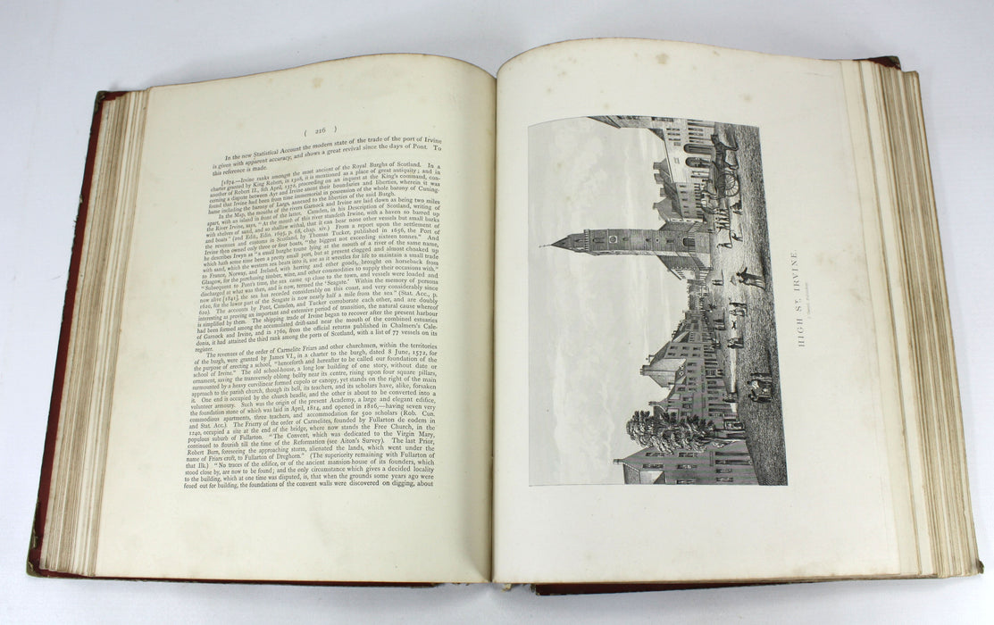
xix + 426pp + folding map + 10 Plates (all present). With engravings in text.
Weight approximately 1.96kg unpacked.
Dimensions: Approximately 295mm high x 231mm wide x 40mm deep.

